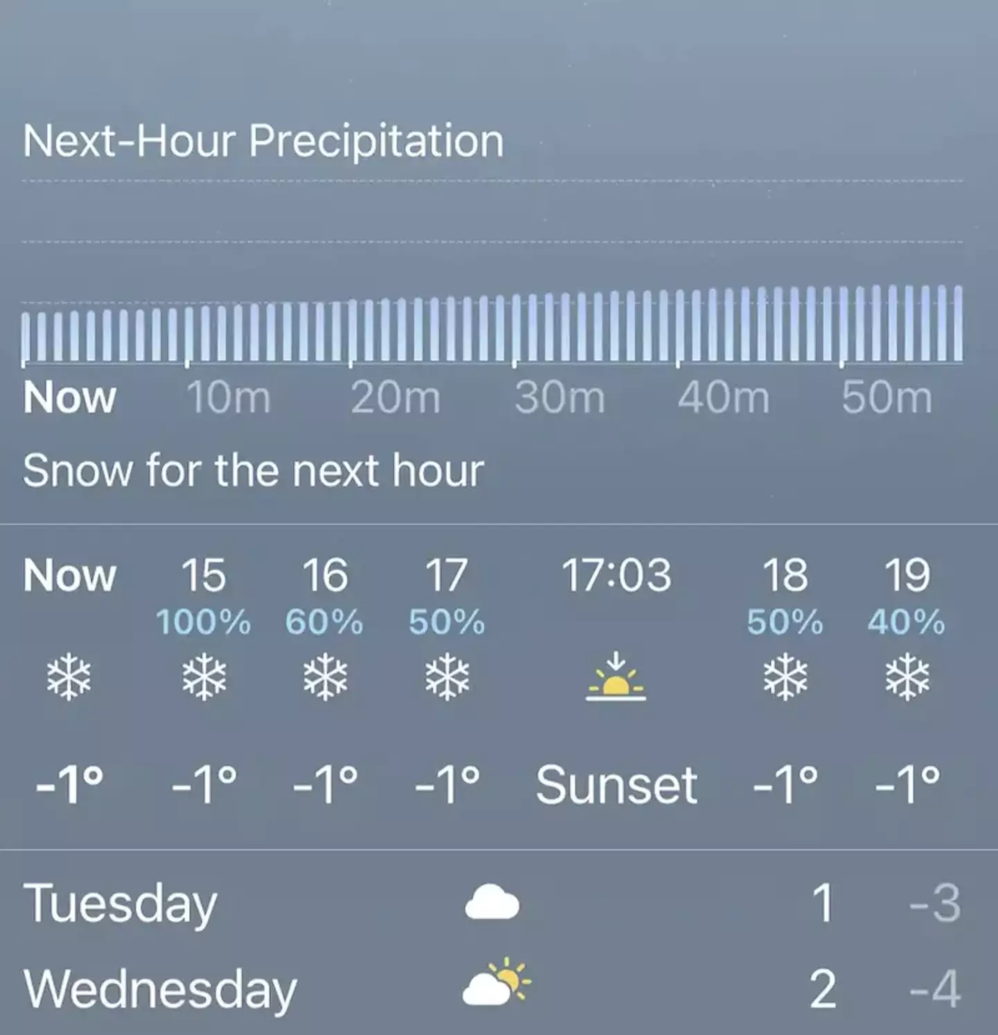
When you go on your weather app and see it says 50% and shows the symbol for snow, most of us think that means that snow is going to cover 50% of the area we’re in during the hours shown on the app.
Simple, right? Well, apparently not.
Apparently, 50 per cent probability of snow on your weather app actually means a 50 per cent chance you will see snow within the hour and has nothing to do with the amount of coverage, so says the Met Office.
With that being said, AccuWeather offers a difference of opinion.
Chief Video Meteorologist Geoff Cornish said that whatever percentage is showing a chance of snow, let’s say 50, means that out of 100 simulations run by meteorologists, 50 agree that snow is the outcome.
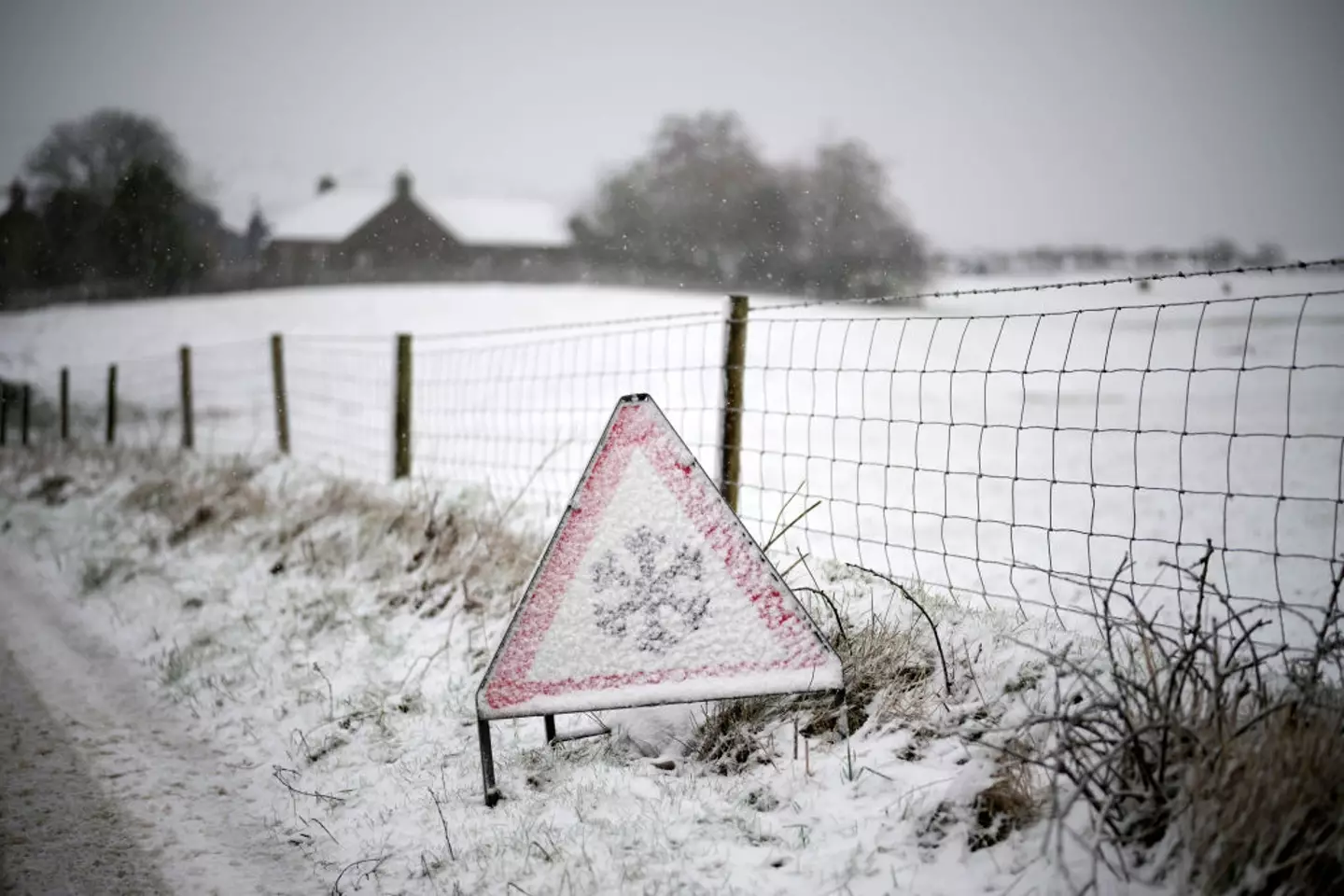
It’s November in the UK, anything is possible (Christopher Furlong / Staff)
Cornish said: “Your probability of precipitation is the likelihood that you will receive measurable precipitation during the forecast timeframe.
“It is the probability that at least 0.01 of an inch of precipitation will fall on your rooftop if you live in the forecast area.
“That’s about enough rain to produce a small, underwhelming puddle.”
Make sense to you? No, me neither but Cornish did advise people not to overthink the weather, which when living in the UK is pretty good advice if you ask me.
He did also say that the probability of precipitation doesn’t actually have anything to with the length of time precipitation may occur or how it intense it will be.
Cornish went on: “Take it at face value. Your probability of precipitation is simply the chance of rain on a scale of zero to 100, if it’s warm enough for rain, at some point in the forecast time. The same applies to snow, freezing rain or sleet.”
If I was you, I’d just make sure you’re wearing shoes with good grip and maybe don’t skip grabbing the umbrella on the way out the door until you see flowers back on the trees.
Featured Image Credit: Getty Images Stock / Apple
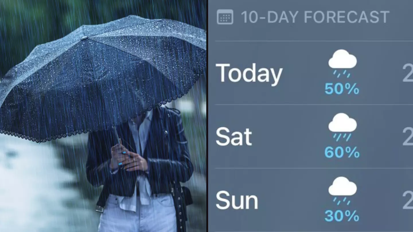
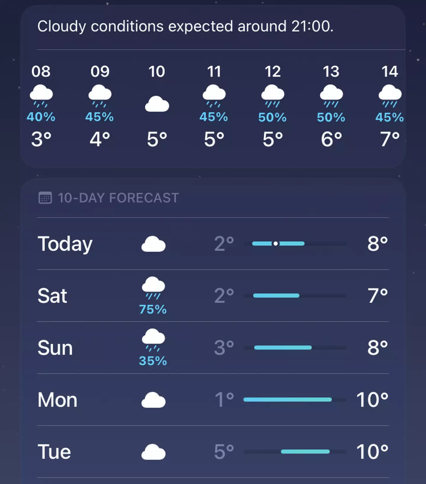
Ever look at your weather app on your phone and wonder how they figure out what the percentage chance of rain is going to be?
If I look at multiple weather apps one of them tells me there’s going to be a 75 percent chance of rain in my area tomorrow, but when I get the hour-by-hour breakdown that percentage doesn’t go above 50 anywhere.
But if I look elsewhere I get different figures for the same area, with the Met Office and BBC both giving me 80 percent at different times of the day.
So what am I supposed to do with this information?
Obviously I’d better take my umbrella with me when I go out but all these different figures might leave me wondering what I can expect.
Jason Weber/Getty
If you’re looking at the BBC’s weather app for example and it’s telling you there’s a 20 percent chance of rain it’s because out of 100 simulations with similar weather it’s rained 20 of those times.
So on that app it really is the percentage chance of rain based off estimates of past weather conditions.
Even though they’re telling me slightly different things about tomorrow’s weather it’s the same for the Met Office app, it’s telling you the percentage chance of rain ‘occurring at any one place in the region’.
It doesn’t mean that a certain percent of the area will be rained on or that it’ll be raining for that portion of time.
It’s about the chances of someone living in that specific location getting rained on at a certain time.
Apple
While the UK forecasts generally stick to just the chance of rain in a location things are a bit different in the US.
Across the pond in the US the percentage figure is achieved by calculating the chance of rain and the coverage of the rain in the location the forecast is focusing on.
So if there’s a 50 percent chance of rain and it’s forecast to cover 80 percent of an area that’d give you a total of 40 percent.
Still with us so far? Good.
What your percentage figure will never tell you is how long your rainfall is going to last or how intense it’ll be.
On top of that predicting the weather is just a difficult thing to do in general and rain is especially hard to forecast, if the time or location of precipitation is even a little bit different then it’ll throw things off.
Featured Image Credit: Getty Stock Images/Apple
Topics: UK News, US News, Weather, Technology
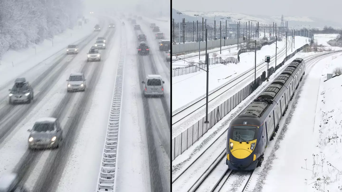
A travel warning has been issued after heavy snow has fallen overnight in some areas in the UK.
The Met Office has given three yellow weather alerts for snow and ice across the Midlands, northern England, parts of Northern Ireland, north east Wales and sections of Northern Ireland.
Yellow warnings suggest that the weather is likely to ’cause some low level impacts, including some disruption to travel in a few places’.
This comes after National Rail said it would expect the cold climate to impact various routes until 2pm on Tuesday (19 November).
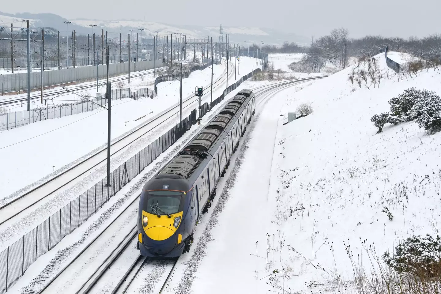
Travellers have been told to plan ahead this morning (Getty Stock Images)
These routes include Bradford Interchange and Huddersfield, and also between Halifax and Hebden Bridge and Hull.
Mersey Rail also said that its first lines would run without travellers to ensure safety.
Those who will be travelling this morning have been asked to plan their journey ahead by checking their local rail app or social media.
Dan Suri, Chief Meteorologist at the Met Office, said: “An area of low pressure slides its way eastwards on Monday night. The associated frontal system, marking the boundary between cold air in the north and milder conditions to the south, will bring disruptive snow to some areas between Monday evening and Tuesday morning.
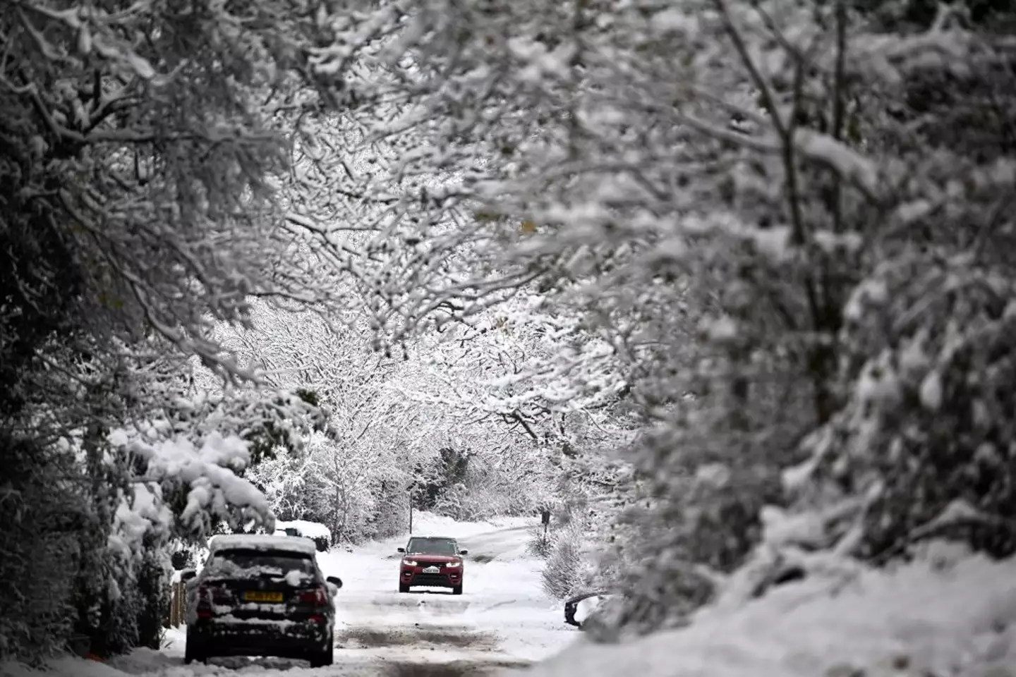
The Met Office has issued three yellow weather alerts for snow and ice (BEN STANSALL/AFP via Getty Images)
“This is likely to coincide with rush hour, leading to disruption to some transport routes across a central swathe of the UK on Tuesday morning. It will also be windy in the far south.”
Across the North East and North West of the country, motorists have been advised to take extra care when heading out this morning.
Impacted roads included the M26 between J21-J23, the M1 at Leeds and Sheffield and the M56 at Manchester.
UK Health Security Agency (UKHSA) has since issued an amber warning, which covers the east and north of England, midlands, and Yorkshire and the Humber, with yellow alerts coming into place for the South East, South West and London at 8am on Tuesday, lasting until 6pm on Saturday.
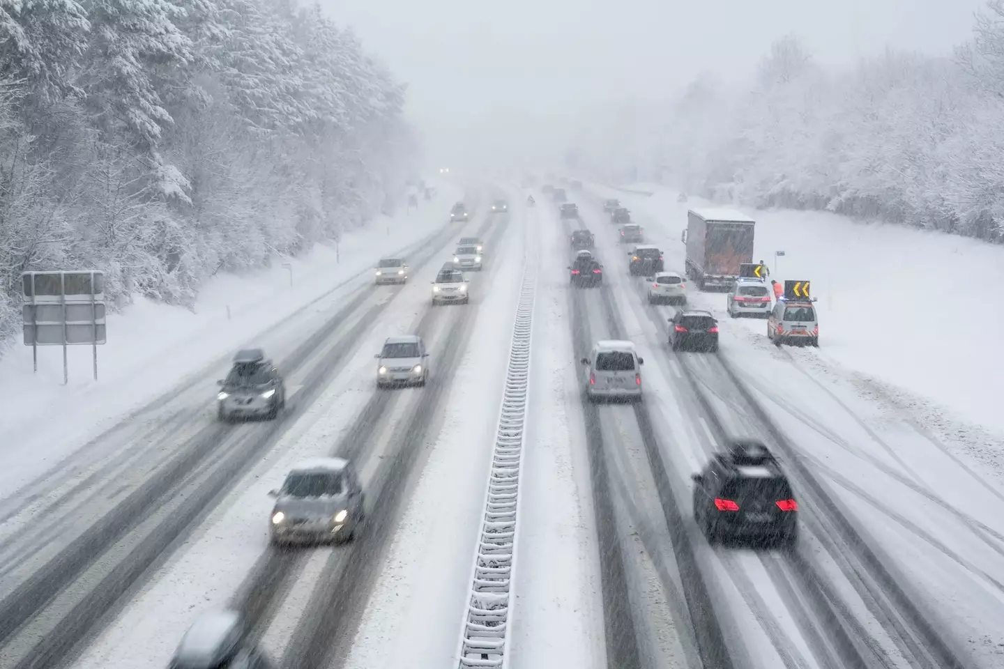
There are likely to be some travel disruptions (Getty Stock Images)
Dr Agostinho Sousa, from the UKHSA, said: “This is the first amber Cold Weather Health Alert of the season.
“But we can expect more as we approach winter, and it is vital to check in on vulnerable friends, family and neighbours to ensure they are well prepared for the onset of cold weather.
“Particularly if they are elderly or otherwise at increased risk.”
Charity Age UK also warned that the conditions could be dangerous for vulnerable and elderly people.
Age UK director Caroline Abrahams said: “With high energy bills and food prices it is understandable that some may think they have to cut back on food and turn their heating off, but prolonged exposure to cold temperatures can have a serious impact on an older person’s health, especially if they are already trying to manage existing illnesses.”
Featured Image Credit: Getty Stock Images
Multiple weather warnings are in place across the UK after three men have died on the roads during Storm Bert.
Thousands were left without power on Saturday (23 November) with more than 200 flood alerts put in place for England, Wales and Scotland overnight.
After a combination of heavy rain and snow battered the country over the weekend, the Met Office has issued yellow weather warnings across the country on Sunday (24 November).
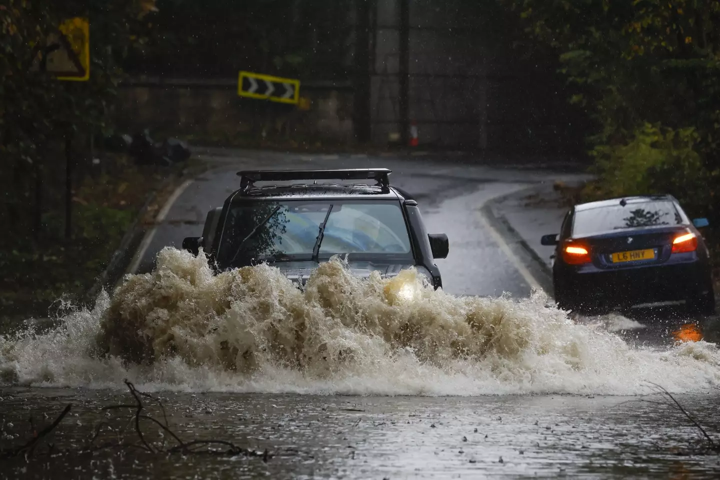
Three men have died on the roads during Storm Bert (Jeff J Mitchell/Getty Images)
Hampshire Police said a man in his 60s died, after a tree fell on a car on the A34 near Winchester at around 7.47am on Saturday, to the southbound carriageway between Kings Worthy and Winnall.
They found the driver of a black Mercedes E350 dead at the scene.
Officers are investigating whether the incident was linked to the storm.
Two other fatal collisions also happened while the storm took hold in England, and it remains unclear if both incidents were linked to the storm.
A 34-year-old man died in a single-vehicle collision in the early hours of Saturday, on Moorhead Lane in Shipley, West Yorkshire Police said.
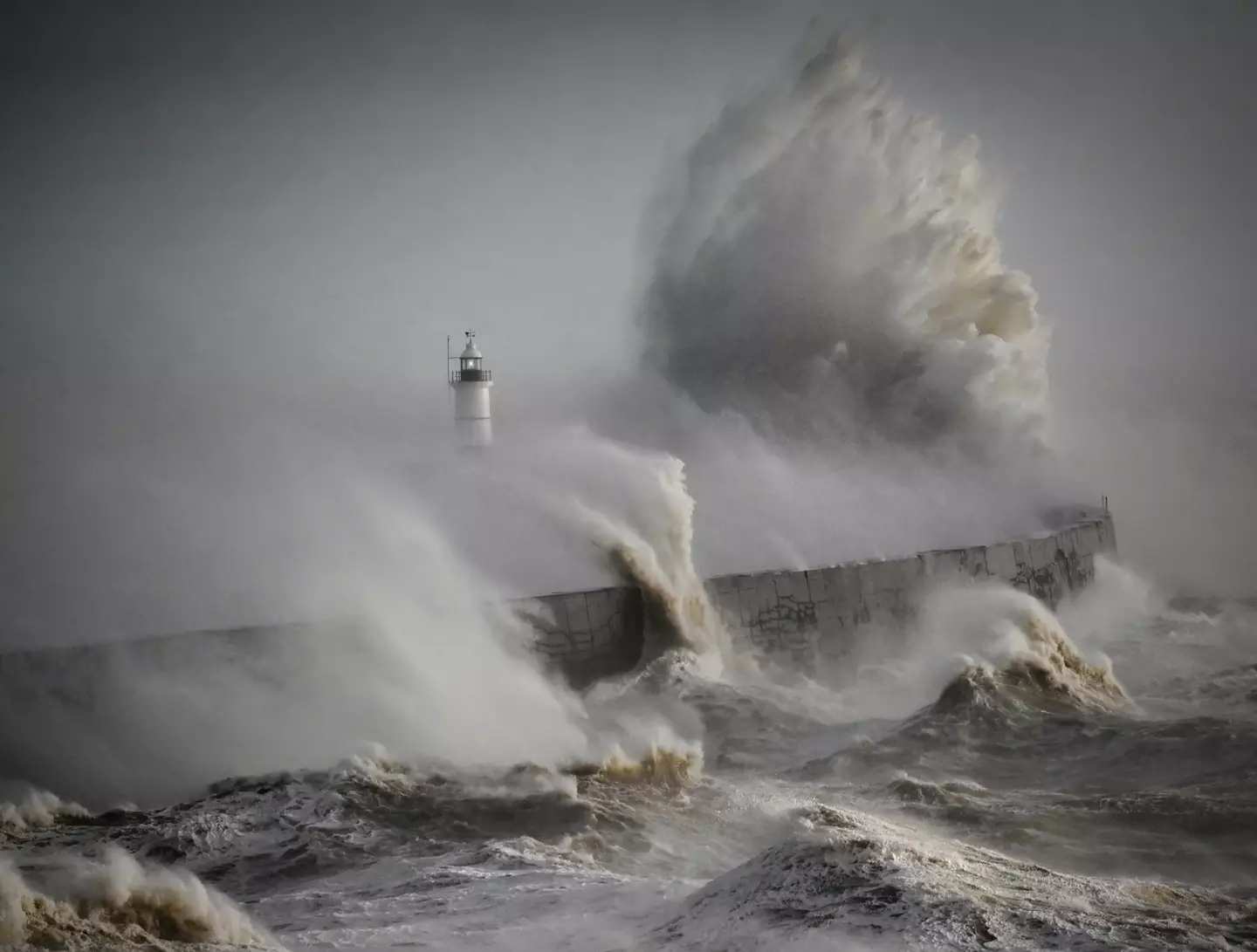
Multiple weather warnings are in place across the UK (Getty Stock Images)
Officers found a blue Renault Captur, which had been travelling towards Saltaire, had collided with a wall.
Meanwhile, a man in his 40s died in a crash on the A45 near Flore in Northamptonshire.
Northamptonshire Police said the collision on Saturday morning, involved a silver Toyota Corolla and a dark grey Hyundai i30 Active.
Today, the Met Office has issued yellow weather warnings, suggesting that the weather is likely to ’cause some low level impacts, including some disruption to travel in a few places’.
Milder temperatures are also causing the snow which covered the north of England and much of Scotland to melt.
However, the weather service noted that Storm Bert is likely to cause ‘dangerous coastal conditions’ across southern England and parts of Wales until 9pm on Sunday.
The Environment Agency added: “Flood alert for River Gowy catchment including areas around Frodsham.
“Flooding of roads and low lying land is possible, property flooding is not expected. Flooding is possible from 5:00 PM on 22/11/2024 and will affect locations near the River Gowy.
“Further heavy rainfall is forecast, levels will continue to rise and remain high all weekend. Avoid using low lying footpaths and any bridges near local watercourses.”
Last night the Energy Secretary, Ed Miliband, tweeted: “My thoughts are with all those affected by Storm Bert.
“For those who have lost power, my department will be keeping in close touch with the energy companies as they seek to ensure it is restored as swiftly as possible and help those affected.”
Featured Image Credit: Jeff J Mitchell/Getty Images/Getty Stock Images
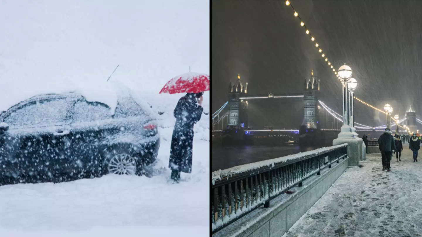
Every winter there’s the age-old question that every Brit asks: “Do you think we’ll get any snow this year?”
Despite having a cold snap in late November-to-early December of 2023, it’s been a fairly snow-free year here in the UK.
Mind you, we’ve had quite the beating from the likes of Storm Pia, which provided turbulent winds across Britain.
And winds from the more recent Storm Gerrit even got so treacherous that they caused severe damage to homes in Stalybridge, Manchester this week, in what’s being described as a ‘mini hurricane’.
Though we’ve missed our chances of a white Christmas this year, come January 2024, the Met Office has warned a ‘greater than normal’ risk of snow.
Though it’s unsure yet whether this ‘sudden stratospheric warming’ (SSW) could send the UK into a lengthy period of cold weather like 2018’s ‘Beast from the East’.
The extreme cold weather is likely to be caused by a change in wind patterns in the atmosphere, forecasting a ‘snow bomb’ across the country due to an incoming polar vortex.
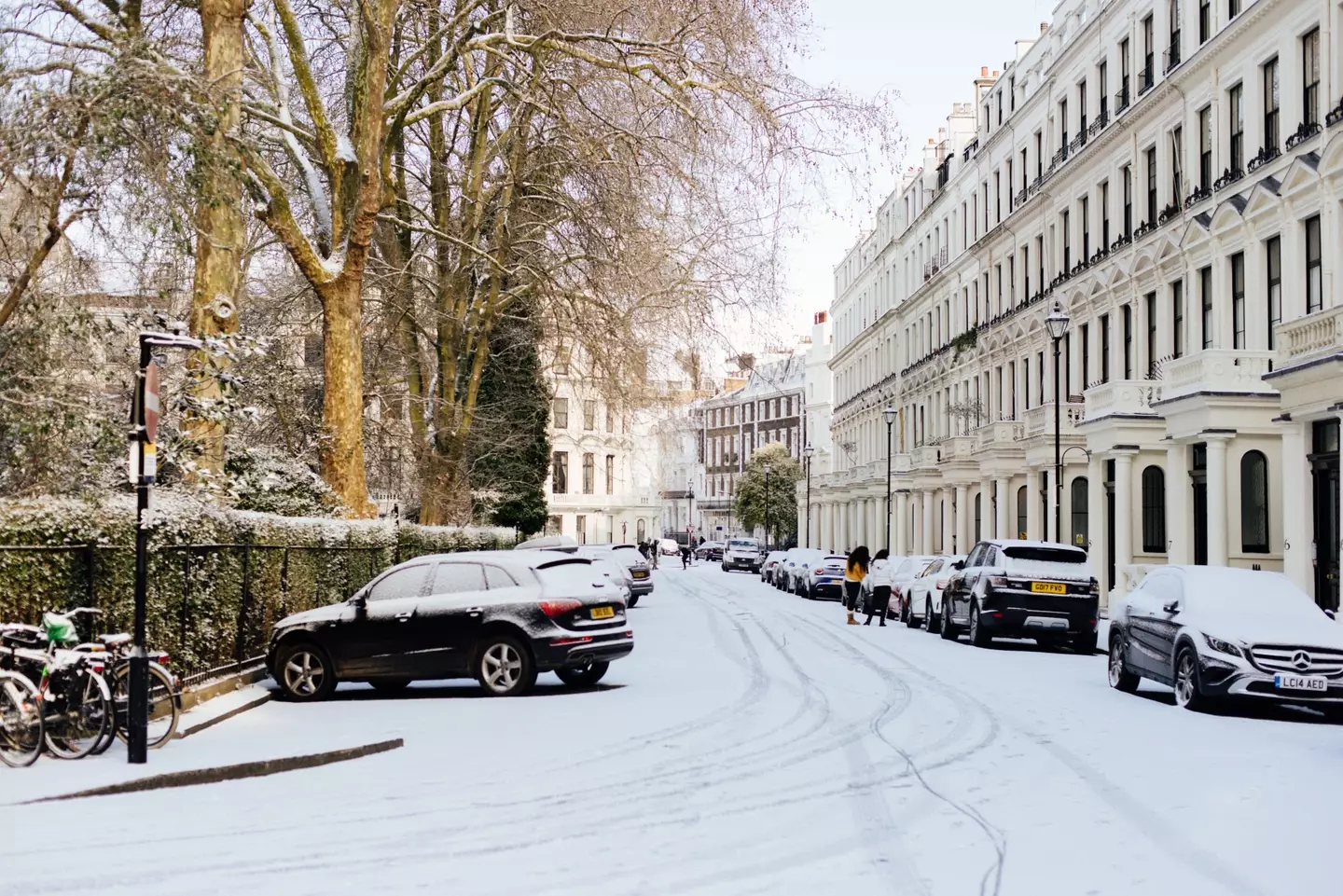
Pexels
A polar vortex is a circulation of winds, around 30 miles above the earth. These winds can often exceed 155 miles per hour, meaning they’re as strong as the strongest hurricanes (Category 5).
However, in winter, the strength of these winds can weaken causing an influence on the weather that we experience.
Meteorologists believe that the intense cold spell could see snow cover parts of the country for the first half of January.
Professor Liz Bentley, chief executive of the Royal Meteorological Society, said to Sky News: “When you get an SSW it increases the likelihood of a prolonged cold spell across Northern Europe, like the Beast from the East.
“It could impact the UK, it has the potential to, but I wouldn’t like to say it’s likely to.”
Those living in rural Scotland and the north of England are expected to be affected the most.
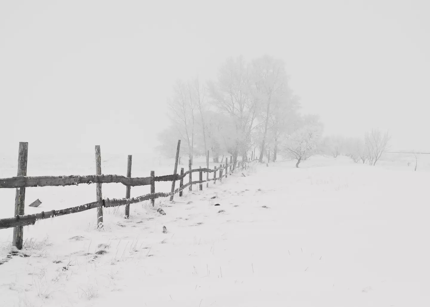
Pixabay
So, when could all this crazy weather start?
Well, the Met Office told LADbible: “It’s too early to tell if there will be a sudden stratospheric warming (SSW) event. Forecast models suggest a much weakened polar vortex over the coming weeks, but at the moment it’s not clear if this will result in an SSW or exactly how this will influence the UK’s weather patterns at this range.”
They continued: “UK weather predominantly comes from the west – with a flow of relatively mild air coming in off the Atlantic, however, if an SSW does occur it often alters our weather patterns, ‘blocking’ the flow of mild Atlantic air and at times it can bring much colder air from the east.
“However, how cold it might get depends on exactly where the flow of source air originates from and SSWs do not by any means always result in a cold spell other global drivers continue to influence the UK weather along with the background of a warming climate.”